Red River Retention Authority
Email
  • Home
  • About the RRRA
    • Mission, Vision, Goals
    • Meet Our Executive Director!
    • Understanding the Red River of the North Basin
    • Committees and Subcommittees
    • Strategic Plan
    • Recent Activities and Events
  • Members Districts
  • Education
    • Impacts of Flooding on Agriculture
    • What is a Watershed?
    • Parts of a Dam
    • Long Term Flood Solutions
    • USDA Natural Conservation Service
    • Strengthening Conservation with Regional Partnerships
  • Meeting Documents
  • Calendar
  • Maps & Charts
  • Photo Gallery
  • Contact Us
Maps and Charts

Red River Basin Mapping Initiative (International Water Institute)

The International Water Institute has been managing this mappingisapps.iwinst.org/map-portal/g initiative "to develop and publicly deliver a seamless and highly accurate digital elevation map of the entire Red River Basin."  The tool used in this process is called Light Detection and Ranging, or LIDAR, which involves an integration of airborne laser and GPS technology.  LIDAR measurements allow precise calculation of land surface elevation, within a few inches.

Red River Basin - Download pdf Version here.  

Picture

Advanced Hydrologic Predictions
(National Weather Service)

Picture

Flood Tracking Charts
(U.S. Geological Survey)
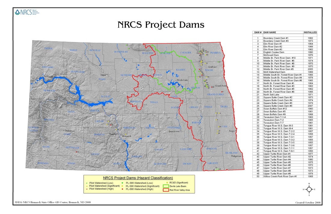
Picture

NRCS Project Dams
Picture

St. Paul Dist. Water Control Center
(U.S. Army Corps of Engineers)

Picture

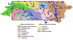
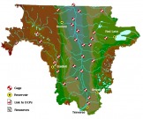
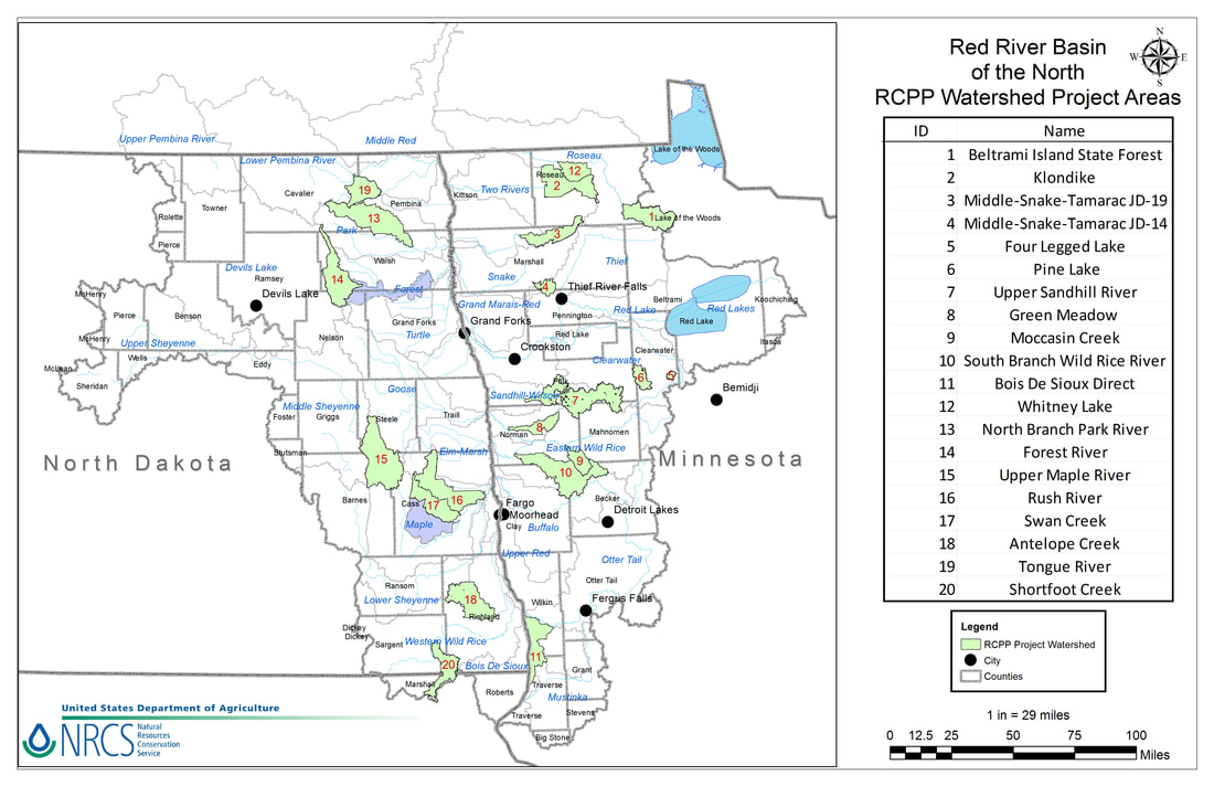
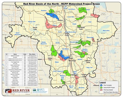
Red River RCPP Watershed Maps
Picture
Picture
RCPP Watershed Planning Status Map as of August 18, 2020.
Powered by Create your own unique website with customizable templates.